


Instrument
Leading Africa's Land and Aerial Surveying with Advanced equipment Technology

At SmartGrid Surveying, we don’t just measure land—we deliver accurate, decision-ready spatial data that engineers, developers, and project managers rely on to plan, design, and execute with confidence. From topographical surveys and cadastral mapping to drone mapping, LiDAR, and underground utility detection, we provide end-to-end geospatial solutions tailored for modern construction and infrastructure projects
Precise Topographical, boundary, cadastral, GIS, and engineering surveys powered by the latest technology.
Explore moreRequest SurveyAerial and Agricultural High-resolution imagery, 3D mapping, and topographical data delivered faster and safer.
Explore moreBook a drone surveyConstruction and building Site layout, monitoring, and as-built verification with precision and speed.
Explore morePartner with us.Change to: Smartgrid surveying delivers Accurate XYZ data, for smarter decisions within your project.
At SmartGrid surveying and Engineering, we specialize in advanced Land Surveying techniques and Civil Works in Kenya, Uganda, Tanzania and Africa, ensuring precision, efficiency, and reliability in every project. Our expertise in GIS mapping, drone surveying, and power grid analysis helps optimize infrastructure planning, while our civil engineering services lay the foundation for sustainable development.
To deliver innovative, high-precision surveying and civil works solutions that enhance the efficiency and sustainability of projects.

SmartGrid surveying delivers 1cm accuracy to your project needs
Before you design, build, or invest, you need reliable surveying data. We help you:
Eliminate costly design errors
Avoid boundary disputes and legal delays
Reduce construction risks
Meet regulatory and approval requirements
Accelerate project timelines with precise data
Whether you're a developer, engineer, contractor, or landowner—our data ensures your project starts right.
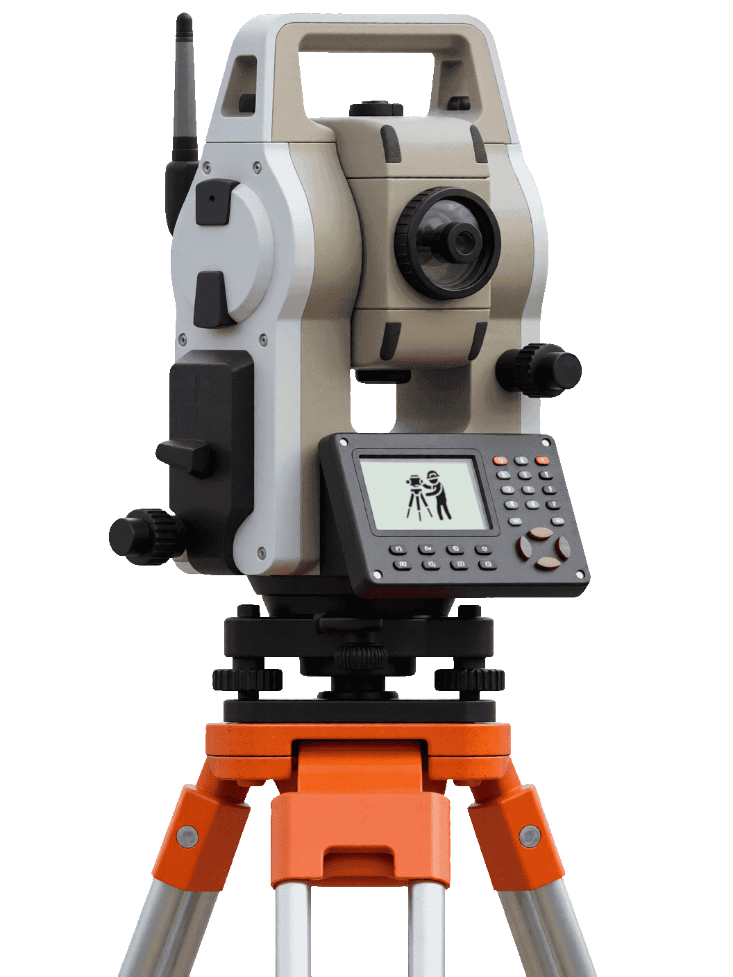
We Use Advanced, Calibrated, Precise equipment to ensure every point is accurate and reliable for your construction and engineering projects across Kenya and Beyond.


We deploy advanced drones to capture high-resolution aerial RGB / LiDAR imagery and multispectral data for Accurate Mapping, Monitoring, Planning, surveying, and engineering.
Tell us about your site and your goal — we'll recommend the right survey, the right instruments, and a realistic budget. No obligation, no jargon.
We provide a wide range of land surveying services, including topographical surveys, boundary surveys, sectional properties, building site surveys, resource mapping, bathymetric surveys, hydrographic surveys, and GIS mapping. Our deliverables include boundary survey reports and plans, cadastral plans for title processing, beacons monumentation, registry maps, 3D spatial data (X, Y, Z), topographical maps, contours, CAD shapefiles, survey reports, PDF map outputs, and other specialized deliverables.
Every project is delivered with professional, ready-to-use outputs tailored to the project needs:

Signed reports and plans defining parcel boundaries for transactions, development, and dispute resolution.
From small land parcels to large-scale infrastructure projects—our systems scale to your needs. We work with the following industries:
Site assessments, subdivision planning, and cadastral mapping for property development.
Surveying support for site layout, monitoring, and construction control.
Alignment surveys, as-built verification, and corridor mapping for road projects.
Feasibility surveys, master-planning support, and parcel mapping for developers.
Compliance mapping, public project surveys, and infrastructure planning support.
Community mapping, resource assessments, and project monitoring services.
Utility mapping, network surveys, and asset management support for energy projects.
We combine cutting-edge technology with extensive experience to deliver exceptional surveying and engineering solutions.
We use RTK GNSS, Total Stations, and Drone Systems to deliver centimeter-level precision.
From LiDAR mapping to GPR utility detection, we deploy advanced tools for complex environments.
Efficient workflows ensure timely delivery without compromising quality.
We align our outputs with design, construction, and approval requirements-not just raw data.
Our team brings hands-on field experience across infrastructure, real estate, and engineering projects in East Africa.
We adhere to strict quality standards and continuously innovate to provide the best solutions for our clients.
We specialize in providing high-quality surveying and engineering services, leveraging advanced technology and industry expertise to deliver accurate and reliable results for our clients.
The honest answer: it depends — but not by mystery. A few site realities shape every quotation we issue, and knowing them puts you in control of the budget conversation.
Survey costs depend on:
Acres to cover, slopes, vegetation, and how much ground the crew must walk.
A boundary retracement, a design topo, and a drone orthomosaic are different jobs.
Distance, road access, and how easily instruments reach every corner of the site.
KES 0
Property lines, encroachments, and beacons — the survey that keeps neighbours friendly and titles clean.
Typical starting ranges only — every site is different. Size, terrain, and access shape the final figure on your quotation.
We have a strong operational scale — a presence in multiple countries, hundreds of projects completed, and a commitment to delivering high-quality services over the years. If your site is in the region, chances are we've already mapped next door.
Where we're based and most active — fastest mobilisation and the sharpest local knowledge.
Full crews and equipment regularly deployed to Kenya's key urban centres.
Cross-border assignments across the region — when drones fly, borders barely matter.
Working somewhere off the grid? We deploy. Tell us where your site is.
Straight answers from the field — the things clients ask us before commissioning their first survey.
Yes — and it's the cheapest insurance you'll ever buy. A topographical survey feeds your architectural designs, engineering plans, and county approvals, and it surfaces site realities (slopes, utilities, boundary positions) before they become costly change orders. Building on assumptions is the most expensive mistake in construction.
Most projects take 1–3 days of fieldwork and 2–7 days of processing and drafting, depending on the size of the site, the terrain, and the deliverables you need. We confirm a clear timeline with your quotation — and flag any delays early, not at handover.
Yes. We use Ground Penetrating Radar (GPR) — including the LMX200 — alongside utility mapping techniques to locate buried water lines, power cables, and other infrastructure before you excavate. It protects your crew, your budget, and your programme.
Boundary surveys start from KES 30,000+, topographical surveys from KES 50,000+, and drone mapping from KES 25,000+. Because every site is different, we price on size, terrain, and accessibility — request a custom quotation and we'll turn it around quickly.
We're based in Nairobi (Ruiru) and work across Kiambu, Machakos, Kajiado, Mombasa, Kisumu, and Nakuru — with full crews regularly deploying to Uganda, Tanzania, Somalia, and the wider East Africa region.
Professional, ready-to-use outputs: topographical maps and contours, boundary and cadastral plans, 3D point clouds, DEM/DSM models, CAD shapefiles, orthomosaics, volumetric reports, and signed survey reports — formatted for engineers, architects, and approval authorities.
Setting out, site engineering, as-built verification — put an engineer-grade eye on your project from ground-break to handover.
We are a leading surveying and engineering company with a strong presence in East Africa, specializing in land surveying, drone mapping, and geospatial data solutions. With over 5 years of experience, we have successfully completed numerous projects while adhering to national regulations and survey best practices.
East Africa operations across Kenya, Uganda, Tanzania, Rwanda & surrounding regions.
Land surveying, drone mapping & geospatial data solutions.
5+ years delivering engineering-grade spatial data.
Compliance with national regulations and survey best practices.
We are proud to hold certifications from reputable organizations, demonstrating our commitment to quality, safety, and professionalism in the surveying and engineering industry.
Surveyors of Kenya
Environmental Compliance
Construction Authority
Survey of Kenya
OUR TRUSTEES


From a single plot to 1000+ acres, our surveyors and pilots are ready to deliver fast, accurate and actionable data — across East Africa and beyond.


